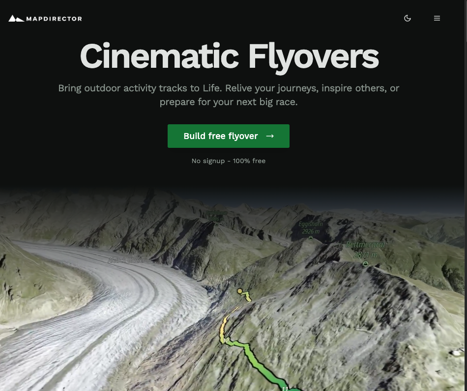
MapDirector.com transforms your GPS-tracked adventures into stunning virtual flyover videos. Whether you’re a weekend hiker wanting to relive your favorite trail, a social media influencer seeking captivating travel content, a race director needing to visualize event routes, or a video editor looking for dynamic map animations, MapDirector.com simplifies the process.
It bridges the gap between raw GPS data and polished, cinematic flyovers, making it easy to share your journeys with the world. What’s even better is that it is free!
We have covered dozens of Strava Plugins (Top 15 Strava Extensions For Displaying Your Activity Data) and although MapDirector isn’t tied directly to the Strava API, it works easily from an exported GPX.
Here’s a quick sample of a flyover made in under 5 minutes, for free! Check out a super sprint triathlon course!
Tools like Relive and MapDirector are great for aiding how we visualize and share our outdoor experiences. They take raw GPS data and transform it into engaging, cinematic flyover videos, making it easy for anyone to create professional-looking visualizations of their adventures.
These platforms prioritize user-friendliness, social sharing, and visual storytelling, making them popular among both casual users and content creators. As AI technology advances, these tools are poised to become even more powerful, with features like automated editing, enhanced 3D rendering, and personalized content creation.
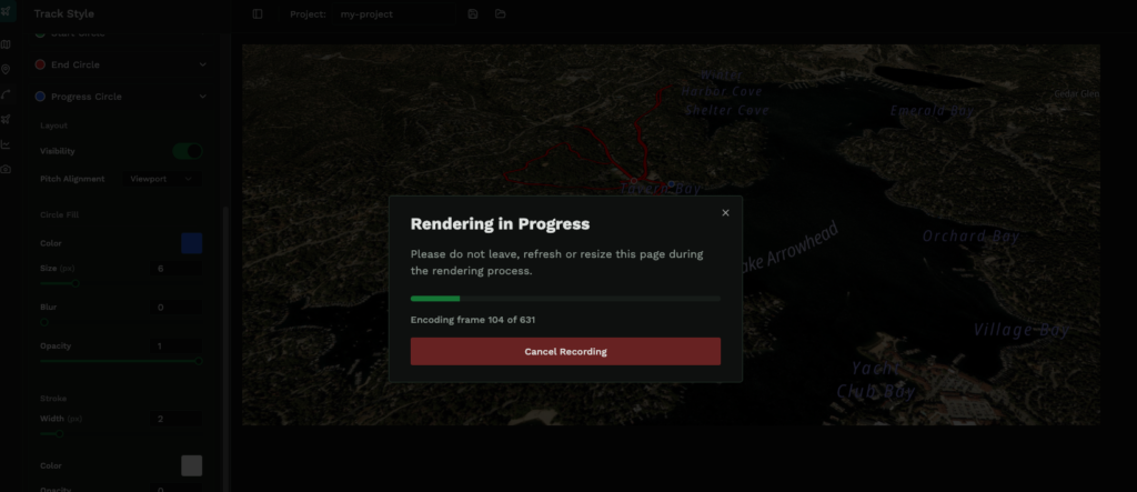
A great feature of MapDirector, other than it being free, is that everything is done in the browser. That means there is no tedious video editing software to download, but it also means that you have to wait live while a new edit renders.
The other thing that is relevant about the in browser editing, is that it is not yet available on mobile. Expect that this will be the killer feature for MapDirector if it ever does become a consumer product. Making edits from mobile, splicing in other images and videos, will make saving and sharing a fun recent activity much more common.
MapDirector Features & AI Future?
MapDirector still has a ways to go on these east of use fronts, mostly because it is still a passion project for a single developer and it is only monetized through donations.
Today it serves as an internal tool for a creative agency, with outreach to consumers. As is hot with many current trends though, the integration of AI has the potential to really broaden the scope and impact of such a tool.
Impact of AI Trends
Dozens of commenters on the Reddit thread where MapDirector was originally shared already picked up on some of these feature requests. While not all of them may make it to this tool, expect to see tons of stuff like this from activity tracking in the future.
- Automated Video Editing:
- AI algorithms can automatically identify key moments in GPS data and video footage.
- AI-powered editing can create more dynamic and engaging flyovers with minimal user input.
- Enhanced 3D Terrain Generation:
- AI can improve the accuracy and realism of 3D terrain models from GPS data.
- This will result in more immersive and visually stunning flyover experiences.
- Intelligent Object Recognition:
- AI can automatically identify and label points of interest along the route.
- This can add valuable context and information to flyover videos.
- Personalized Content Creation:
- AI can analyze user preferences and activity data to create tailored flyover experiences.
- This could include automatically generating videos with specific music, camera angles, and overlays.
Related Articles
Best Running Route Planners- Gmaps Pedometer vs. Strava vs OnTheGoMaps